Free printable blank maps
110 outline maps drawn from public-domain boundary data. Each comes in four versions — blank, labeled, colored and with cities — and downloads as SVG, PNG or PDF. No watermark, no sign-up, no attribution required.
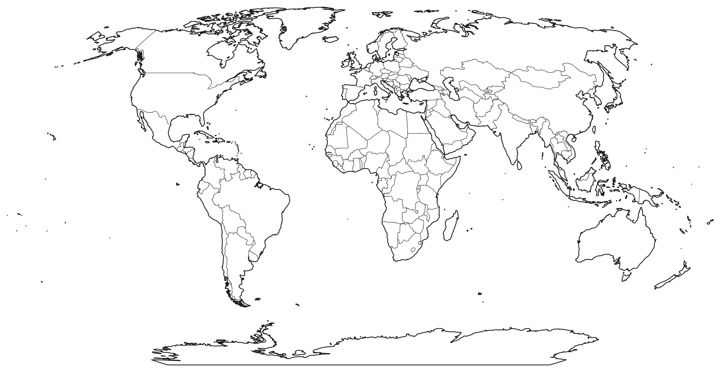
World and continents (7)
United States (52)
- United States51 states
- Alabama67 counties
- Alaska30 boroughs and census areas
- Arizona15 counties
- Arkansas75 counties
- California58 counties
- Colorado64 counties
- Connecticut9 planning regions
- Delaware3 counties
- District of Columbia1 county equivalent
- Florida67 counties
- Georgia159 counties
- Hawaii5 counties
- Idaho44 counties
- Illinois102 counties
- Indiana92 counties
- Iowa99 counties
- Kansas105 counties
- Kentucky120 counties
- Louisiana64 parishes
- Maine16 counties
- Maryland24 counties and Baltimore city
- Massachusetts14 counties
- Michigan83 counties
- Minnesota87 counties
- Mississippi82 counties
- Missouri115 counties and St. Louis city
- Montana56 counties
- Nebraska93 counties
- Nevada17 counties and Carson City
- New Hampshire10 counties
- New Jersey21 counties
- New Mexico33 counties
- New York62 counties
- North Carolina100 counties
- North Dakota53 counties
- Ohio88 counties
- Oklahoma77 counties
- Oregon36 counties
- Pennsylvania67 counties
- Rhode Island5 counties
- South Carolina46 counties
- South Dakota66 counties
- Tennessee95 counties
- Texas254 counties
- Utah29 counties
- Vermont14 counties
- Virginia133 counties and independent cities
- Washington39 counties
- West Virginia55 counties
- Wisconsin72 counties
- Wyoming23 counties
Countries (51)
- Canada13 provinces and territories
- Mexico32 states
- Brazil27 states
- Argentina24 provinces
- Colombia33 departments
- Chile16 regions
- Peru26 regions
- United Kingdom4 countries
- Ireland29 counties and Dublin council areas
- France13 regions
- Germany16 states
- Italy20 regions
- Spain19 autonomous communities and cities
- Portugal18 districts
- Netherlands12 provinces
- Belgium11 provinces
- Switzerland26 cantons
- Austria9 states
- Sweden21 counties
- Norway19 counties
- Finland18 regions
- Denmark5 regions
- Poland16 voivodeships
- Czech Republic14 regions
- Hungary20 counties and Budapest
- Romania42 counties
- Greece14 regions
- Turkey81 provinces
- Ukraine25 oblasts and Kyiv city
- Russia85 federal subjects
- China31 provinces, regions and municipalities
- India36 states and union territories
- Japan47 prefectures
- South Korea17 provinces and cities
- Indonesia33 provinces
- Philippines17 regions
- Vietnam63 provinces
- Thailand77 provinces
- Malaysia16 states and federal territories
- Singapore5 community development districts
- Pakistan7 provinces and territories
- Iran31 provinces
- Iraq18 governorates
- Saudi Arabia13 regions
- United Arab Emirates7 emirates
- Israel6 districts
- South Africa9 provinces
- Nigeria37 states and the capital territory
- Egypt27 governorates
- Australia9 states and territories
- New Zealand16 regions
Where the maps come from
US state and county outlines are the US Census Bureau’s 2024 cartographic boundary files; each state page lists every county with its Census land area and American Community Survey population. World, continent and country maps use Natural Earth, a public-domain dataset made for small-scale mapping. Each map page names its exact source files and notes where the boundaries differ from today’s divisions.
Every version of a map is the same drawing with labels, colours or cities added, so the borders line up exactly between them — print the blank one as a quiz and the labeled one as the key.