Prime Meridian Map
See the Prime Meridian (0° longitude) on a map with every country it crosses from the UK to Antarctica, the stretch over land in each, and how far east or west of it any place is.
Prime Meridian
0° longitude (the Greenwich meridian)
9 countries and territories on land · about 6,802 km (4,227 mi) of the line runs over land

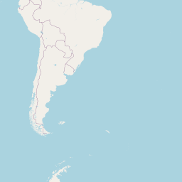
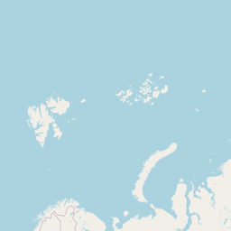
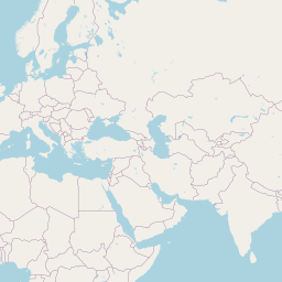
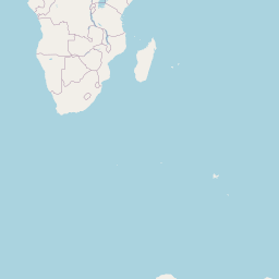
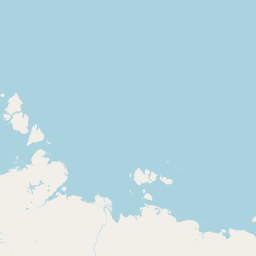
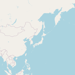
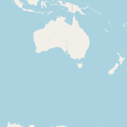
Click the map or search below to see how far a place is from the line.
Your browser asks before sharing your position. Coordinates and typed text are sent only to the lookup services named on the result; this site stores nothing.
| # | Country or territory | From – to (latitude) | Line over land |
|---|---|---|---|
| 1 | (status in Natural Earth: indeterminate) | 90.00° S – 71.50° S | 2,066 km (1,284 mi) |
| 2 | 5.62° N – 11.09° Nin 2 separate stretches | 563 km (350 mi) | |
| 3 | 10.59° N – 11.10° Nin 2 separate stretches | 43 km (27 mi) | |
| 4 | 11.10° N – 14.98° N | 430 km (267 mi) | |
| 5 | 14.98° N – 21.85° N | 760 km (472 mi) | |
| 6 | 21.85° N – 35.84° N | 1,550 km (963 mi) | |
| 7 | 38.62° N – 42.69° Nin 2 separate stretches | 333 km (207 mi) | |
| 8 | 42.69° N – 49.33° N | 738 km (459 mi) | |
| 9 | 50.79° N – 53.76° Nin 2 separate stretches | 319 km (198 mi) |
Crossings computed for this site from Natural Earth 1:10m countries: the line is intersected with every country outline and the land stretches are measured on the WGS84 ellipsoid. Small islands and lakes can add or remove short stretches; country status follows Natural Earth. The IERS Reference Meridian used by GPS runs about 102 m east of the historic Airy transit circle at Greenwich (Malys et al. 2015).
How to use the Prime Meridian map
- See the line. 0° longitude, from the Arctic to Antarctica.
- Explore the countries. Click a name to highlight its stretch.
- Check a place. See how far east or west of the meridian it is.
Why the Prime Meridian matters
Longitude starts here
All east and west longitudes are measured from it.
Visiting Greenwich
The Royal Observatory marks the historic line.
Time zones
GMT, and so UTC, were based on time at Greenwich.
Geography lessons
Which countries does it cross?
Navigation
Its history is the history of finding longitude at sea.
Where the line is
The Prime Meridian here is 0° longitude on WGS84, the system GPS uses, which follows the IERS Reference Meridian. That line runs about 102 metres east of the historic Airy transit circle at the Royal Observatory, Greenwich, adopted as the prime meridian in 1884; the difference comes from how the modern reference frame is tied to the Earth's centre of mass.
Crossings were computed by intersecting 0° longitude with Natural Earth's 1:10 million country outlines and measuring each land stretch along the meridian on the WGS84 ellipsoid.
Frequently asked questions
Which countries are on the Prime Meridian?
The United Kingdom, France, Spain, Algeria, Mali, Burkina Faso, Togo and Ghana — plus Antarctica.
Why does my phone show 0° about 100 m from the line at Greenwich?
GPS uses the IERS Reference Meridian, about 102 m east of the historic brass line.
Why Greenwich?
The 1884 International Meridian Conference chose it, largely because most of the world's charts already used it.
Where does it meet the Equator?
In the Gulf of Guinea, at 0° N 0° E — open sea.
Related tools
Equator Map
See the Equator on a map with every country it crosses, where it enters and leaves each one and how many kilometres run over land, and how far any place is from it.
Natural Earth 1:10m countries; WGS84
Tropic of Cancer Map
See the Tropic of Cancer on a map at its exact latitude for this year, with the 19 countries and territories it crosses, the length over land in each, and your distance from it.
IAU 2006 obliquity; Natural Earth 1:10m countries
Tropic of Capricorn Map
See the Tropic of Capricorn on a map at its exact latitude for this year, with the 10 countries it crosses, the length over land in each, and your distance from it.
IAU 2006 obliquity; Natural Earth 1:10m countries
Arctic Circle Map
See the Arctic Circle on a map at its exact latitude for this year, with the 8 countries it crosses, the length over land in each, and how far north or south of it any place is.
IAU 2006 obliquity; Natural Earth 1:10m countries
Antarctic Circle Map
See the Antarctic Circle on a map at its exact latitude for this year, where it crosses the Antarctic continent and how far any place is from it.
IAU 2006 obliquity; Natural Earth 1:10m countries
International Date Line Map
See the International Date Line on a map as it bends around Pacific island nations, and check the local date and time at any place on either side of it.
Natural Earth 1:10m geographic lines; IANA tz database