International Date Line Map
See the International Date Line on a map as it bends around Pacific island nations, and check the local date and time at any place on either side of it.
International Date Line
About 180° longitude, bent around island nations
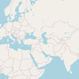
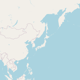
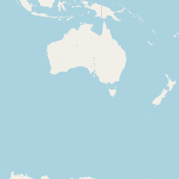
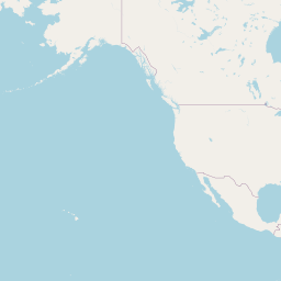

Click the map or search below to see how far a place is from the line.
Your browser asks before sharing your position. Coordinates and typed text are sent only to the lookup services named on the result; this site stores nothing.
Line: Natural Earth 1:10m geographic lines (naturalearthdata.com). The date line has no international treaty; it follows the time zones that countries choose. Local dates: each place's time zone (Open-Meteo) and your browser's IANA tz database.
How to use the date line map
- See the line. The red line follows the International Date Line through the Pacific.
- Check a place. Search a place or click the map to see its local date and time.
- Compare both sides. Click either side of the line to see the calendar date jump.
Why the date line matters
Flights across the Pacific
Why you arrive 'before' you left, or lose a day.
Cruises
Ships cross it and change the date on board.
New Year
Kiribati's Line Islands are first into each new day.
Geography lessons
Why the line is not straight.
Time zone puzzles
Samoa and American Samoa are close together but a day apart.
Where the line comes from
The line drawn is from Natural Earth's 1:10 million geographic lines. There is no treaty that fixes the International Date Line: it is the line where countries' chosen time zones put the calendar a day apart, roughly along 180° longitude, bending to keep island groups together.
The local date and time at a place come from its time zone (looked up with Open-Meteo from timezone-boundary-builder data) and the IANA time zone database in your browser. That is what actually decides the date there.
Frequently asked questions
Why does the date line zigzag?
To keep each country or island group on one date. Kiribati moved its eastern islands to the Asian side of the line on 31 December 1994.
Which country is first to see a new day?
Kiribati's Line Islands, at UTC+14.
Why did Samoa skip 30 December 2011?
It moved across the date line to align with Australia and New Zealand, its main trading partners.
If I fly east across it, do I gain a day?
Yes — crossing eastward the date goes back one day; westward it goes forward.
Is the date line the same as 180° longitude?
Mostly, but it leaves 180° to go around Russia's far east, Fiji, Tonga, Samoa and Kiribati.
Related tools
Equator Map
See the Equator on a map with every country it crosses, where it enters and leaves each one and how many kilometres run over land, and how far any place is from it.
Natural Earth 1:10m countries; WGS84
Tropic of Cancer Map
See the Tropic of Cancer on a map at its exact latitude for this year, with the 19 countries and territories it crosses, the length over land in each, and your distance from it.
IAU 2006 obliquity; Natural Earth 1:10m countries
Tropic of Capricorn Map
See the Tropic of Capricorn on a map at its exact latitude for this year, with the 10 countries it crosses, the length over land in each, and your distance from it.
IAU 2006 obliquity; Natural Earth 1:10m countries
Arctic Circle Map
See the Arctic Circle on a map at its exact latitude for this year, with the 8 countries it crosses, the length over land in each, and how far north or south of it any place is.
IAU 2006 obliquity; Natural Earth 1:10m countries
Antarctic Circle Map
See the Antarctic Circle on a map at its exact latitude for this year, where it crosses the Antarctic continent and how far any place is from it.
IAU 2006 obliquity; Natural Earth 1:10m countries
Prime Meridian Map
See the Prime Meridian (0° longitude) on a map with every country it crosses from the UK to Antarctica, the stretch over land in each, and how far east or west of it any place is.
Natural Earth 1:10m countries; WGS84