Antipode Finder
Find the exact point on the opposite side of the Earth from any address or your location, whether it is land or ocean, and see where land lies opposite land on a world map.
Your browser asks before sharing your position. Coordinates and typed text are sent only to the lookup services named on the result; this site stores nothing.
Search a place, use your location or click the map to see the point on the opposite side of the Earth.
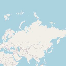
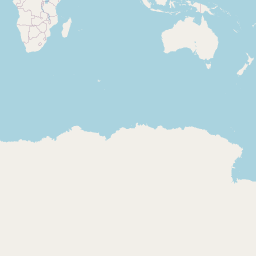
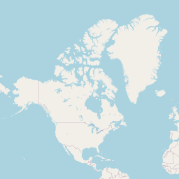
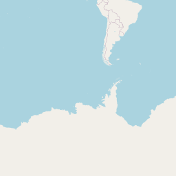
Click anywhere on the map to set the starting point there. Most of the world's land lies opposite ocean.
How to find your antipode
- Choose a starting point. Search a place, press 'Find my antipode', or click anywhere on the map.
- Read the opposite point. The antipode's coordinates appear with whether it is land or water and the nearest named place.
- Turn on the land overlay. Tick the box to draw every continent flipped to its antipode. Where orange overlaps land, land lies opposite land.
- Try other spots. Click the map to move the start point; the result updates each time.
Why people look up antipodes
Settling 'if I dug straight through'
From most of the US and Europe the answer is open ocean. The Dig Through the Earth Map tool follows a plumb line instead.
Finding antipodal city pairs
Spain and New Zealand, or Argentina and China, are among the few places where cities sit opposite each other.
Geography lessons
The overlay shows how little land is opposite land.
Travel bucket lists
Some travellers aim to stand on both ends of an antipode.
Radio and satellite trivia
Antipodal points are the farthest apart on Earth, half a meridian (about 20,004 km) over the surface.
Checking a coordinate
Paste coordinates to see their exact opposite in decimal and DMS.
Puzzle and game design
Antipodes come up in geography games and quizzes.
Teaching latitude and longitude
The antipode is just the latitude flipped and the longitude moved 180°.
How the antipode is found
The antipode of latitude φ and longitude λ is latitude −φ and longitude λ ± 180°. Because the WGS84 ellipsoid is symmetric about its centre, this is exact, and the straight line between the two points passes through the Earth's centre.
Whether the antipode is land or water comes from the Copernicus GLO-90 elevation model through Open-Meteo: open water reads 0 m. The nearest named place comes from OpenStreetMap through the Photon geocoder; if the nearest named feature is more than 25 km away the page says how far it is rather than naming it as the location.
The land overlay redraws Natural Earth's 1:110 million country outlines at their antipodes. At that scale small islands are left out, so check a specific spot by clicking it.
Your starting point comes from your device (only when you press the button), the place you type, or a map click. Nothing is stored by this site.
Frequently asked questions
What is an antipode?
The point on the Earth's surface directly opposite another, so that a straight line between them passes through the centre of the Earth.
Is the antipode of the US in China?
No. The antipodes of the contiguous US are almost all in the southern Indian Ocean, southwest of Australia. China's antipodes are mostly in Argentina and Chile.
How far away is my antipode?
About 20,004 km (12,430 mi) over the surface along a meridian, and between 12,714 and 12,756 km straight through the centre, depending on latitude.
Is this the same as digging straight down?
Not quite. A plumb line follows the local vertical, which misses the centre by up to about 21 km at mid-latitudes, so a straight-down tunnel comes out a few tens of kilometres from the antipode. The Dig Through the Earth Map tool computes that point.
Why does it say 'water' when there is a small island?
The elevation model is on a 90 m grid and the land overlay is coarse. Click the island itself to check it.
Is my location stored?
No. It is sent only to the elevation and place-name services named on the result.
Related tools
Geographic Center Finder
Find the geographic midpoint and the centre of minimum distance of any set of places, optionally weighted, or the area-weighted centre of any US state or country.
Spherical centroid and geometric median; Census and Natural Earth boundaries
Dig Through the Earth Map
Pick where you start digging and see where a tunnel straight down would come out, how long it is, which layers of the Earth it passes and how long a fall through it would take.
WGS84 ellipsoid normal; PREM Earth model (Dziewonski & Anderson 1981)
Random Location Generator
Generate truly uniform random coordinates anywhere on Earth, inside a box, or within a radius of a place — with an option to skip open sea and the points shown on a map.
Uniform sphere point picking (MathWorld) with Web Crypto randomness
Address to Coordinates
Turn one address or a whole list into latitude and longitude, with the matched place name, and download the results as CSV.
OpenStreetMap via the Photon geocoder
Coordinates to Address
Enter latitude and longitude (any format) or click a map and get the nearest street address, plus the ground elevation and the local time zone at that point.
OpenStreetMap via Photon; Copernicus DEM via Open-Meteo
Coordinates to City
Paste one coordinate pair or a list of up to 200 and get the city, county, state and country for each, ready to download as CSV.
OpenStreetMap via the Photon reverse geocoder